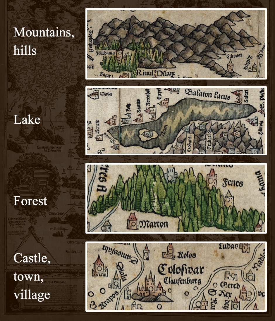
It is conspicuous that the wet or swampy areas, that were highly common in that era, are not shown on the map. Due to Cuspinianus’ description, it is presumed that Lazarus depicted these areas using colours, but the techniques used to print these maps did not allow this kind of marking. Probably the carvers did not know how they could replace these markings, so they rather abandoned them. This presumption is supported by the fact that the first time these markings appeared was in 1563, on the map of Pirro Ligorio. These markings are used today to show areas temporarily covered in water.
The printing technique used by Apianus was not capable of colouring. However, the Tabula Hungariae is thoroughly coloured, and the used paint is the same age as the map. The publishers wanted to publish a coloured map, and so they wrote suggestions about it in the upper left corner, but it is unknown whether the only known copy in existence was coloured as per the request of the original buyer, and whether Aspianus’ press did it or someone else.


